Satellite Maps
|
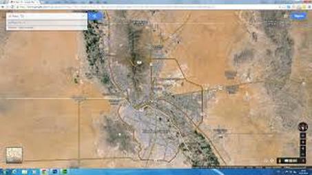
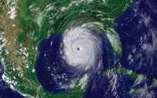
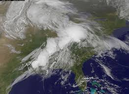
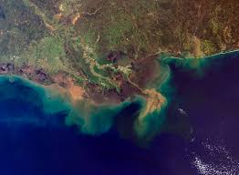
A satellite image or satellite view, is a picture taken by a satellite in outer space. The satellite view can show. It lets us see a picture of a large area.
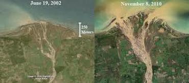
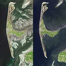
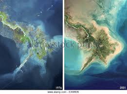
By comparing images we can see how the earth is changing. |
|
What can we see from a satellite image?
Topography - refers to the steepness or flatness of the land. This includes: mountains, hills, cliffs, valleys and depressions.
Remember: Weathering, erosion and deposition can change the topography of an area over time. Example: winds and gravity can lower the elevation (height - distance above or below sea level) of the mountains by breaking them down and carrying away their rocks. Flowing rivers and moving glaciers can also cut canyons into the ground.
Scientists track these changes and can use satellite images to help view the topographic area.
|
|
|
|
|
